| Home > All By Location regional map > Pittsbugh East > Panhandle Bridge | ||||||||||
|
|

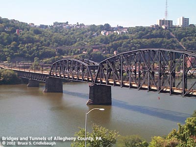
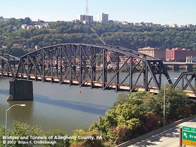
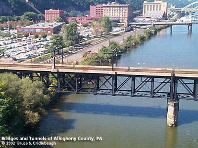
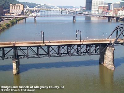
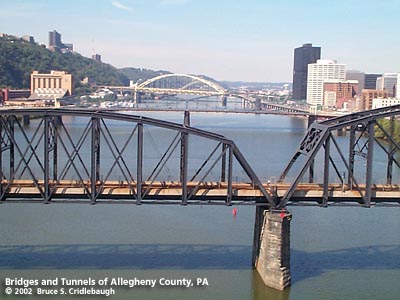
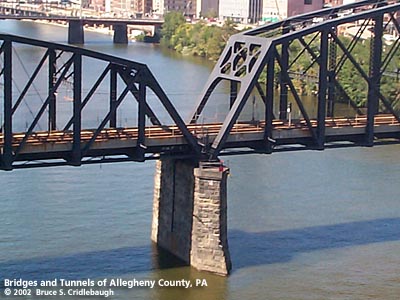
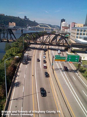
View northwest from Liberty Bridge (downstream left) 
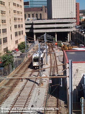
Elevation drawing looking downstream Main information page More information and photos: view page - Panhandle Bridge Wye -- southern approach
Submit info or inquiry - share some facts or ask a question. Introduction -- Nearby Structures Page created: Last modified: 02-Nov-2001 |
View Larger Map View Larger Map 
| ||||||||
| copyright: © Bruce S. Cridlebaugh 1999-2008 All Rights Reserved | ||||||||||