| Home > All By Location regional map > McKeesport > Lysle Blvd Bridge | ||||||||||||||||||
|
|
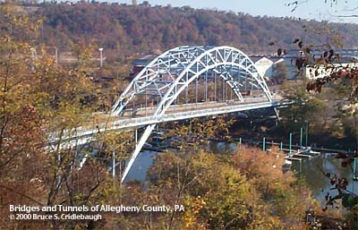
View northeast from Arlington St More detail photos OFFICIAL NAME: Jerome St Bridge OTHER DESIGNATION: Lysle Blvd Bridge LOCATION: McKeesport USGS 7.5" Topo Quad - UTM Coordinates: McKeesport - Zone 17; 0595 4467 CARRIES: motor vehicles, four lanes George Lysle Blvd [LR392(03M)] [Yellow Belt] sidewalk each side BETWEEN: -- George Lysle Blvd [Yellow Belt], [former Fifth Av (McKeesport)] on right descending bank of Youghiogheny River -- West Fifth Av [Yellow Belt], [former High St (Reynoldton)] on left descending bank of Youghiogheny River CROSSES: -- (RDB to LDB) Water St; Youghiogheny River at mile 0.3; CSX [PLE RR]; River Rd TYPE OF CONSTRUCTION / DESIGN: Crescent through arch LENGTH OF MAIN SPAN: 315.0 ft TOTAL LENGTH (including longest elevated ramp): HEIGHT OF DECK: 47.3 ft, vertical clearance, channel span Braddock Dam normal pool level 718.7 ft YEAR ERECTED / ENGINEER: 1934-39, County of Allegheny ADDITIONAL INFO: Officially, this is the "Jerome Street Bridge," although today it links Lysle Blvd to West Fifth Street in the Tenth Ward of McKeesport [formerly High St, Reynoldton). Jerome St was once a narrow alley between Fourth and Fifth Avenues. It started at Tubeworks St and passed the B&O RR station between Locust St and Sinclair St. Varying from 20 to 30 feet in width, it extended north toward Riverton and ended near the cemetery. Jason Togyer writes, "Jerome St was widened widened circa 1933 and city council attempted to rename it for then-Mayor George H. Lysle, a Republican. President Roosevelt balked and his administration threatened to ask the city to return $1 million in federal funds spent on widening the road because public works could not then be named for living, incumbent officeholders. The road remained Jerome Avenue until Lysle's death." The high water mark of the 1936 St. Patrick's Day Flood is embossed in the northern abutment facing the Monongahela River. A metal plaque affixed along the sidewalk reads:
Another three-panelled metal plaque reads: (left panel)
(center panel)
(right panel)
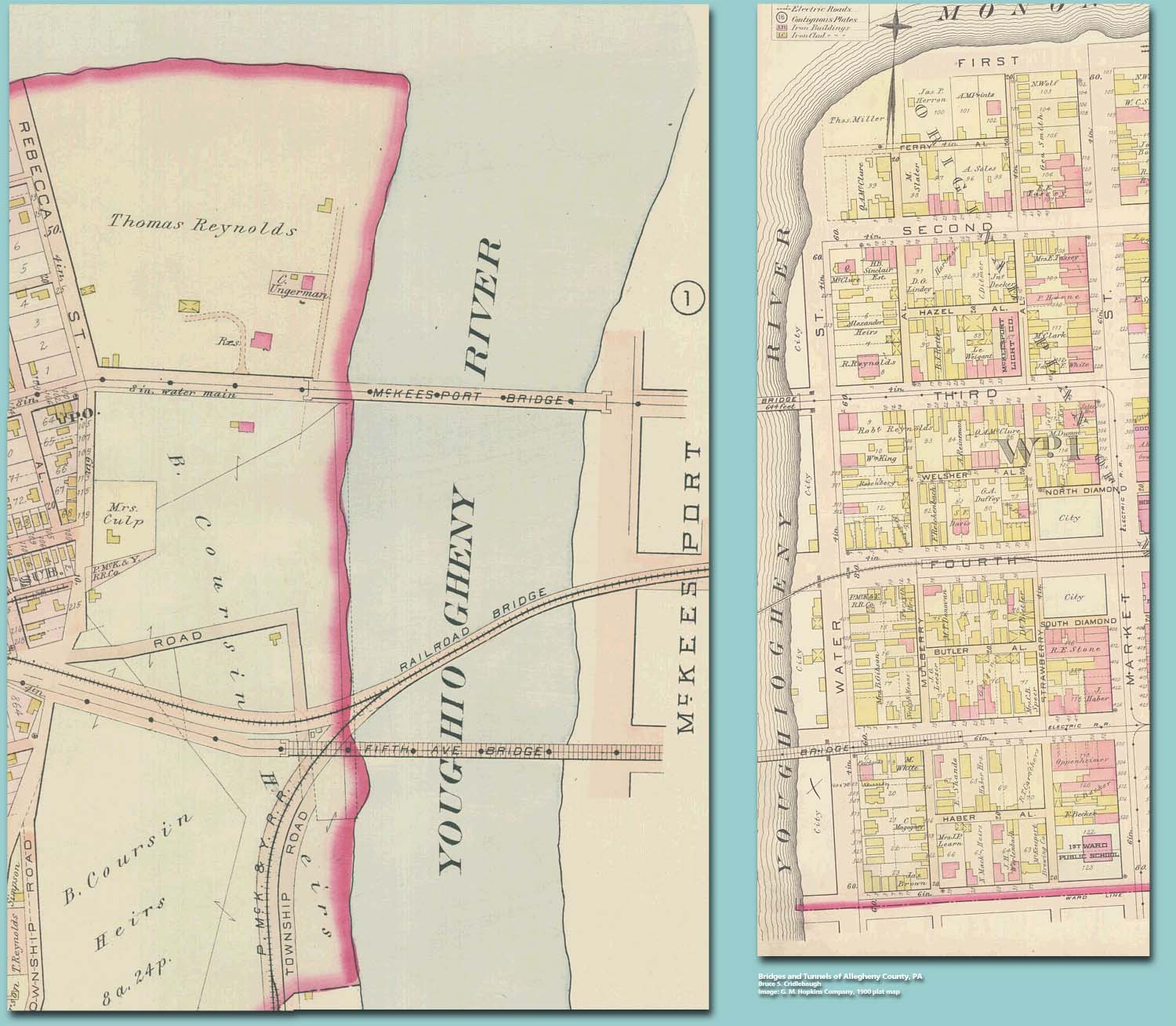
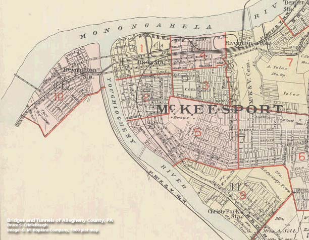
Map - Bridges over the Yough at McKeesport, 1900 Hopkins plat map Map - McKeesport, 1900 Hopkins plat map index FIELD CHECKED: 23-Oct-2000 INFO SOURCES: USACE Monongahela River Nav. Charts; Jason Togyer Submit info or inquiry - share some facts or ask a question. Introduction -- Nearby Structures Page created: Last modified: 10-Nov-2000 |
View Larger Map View Larger Map 
| ||||||||||||||||
| copyright: © Bruce S. Cridlebaugh 1999-2008 All Rights Reserved | ||||||||||||||||||